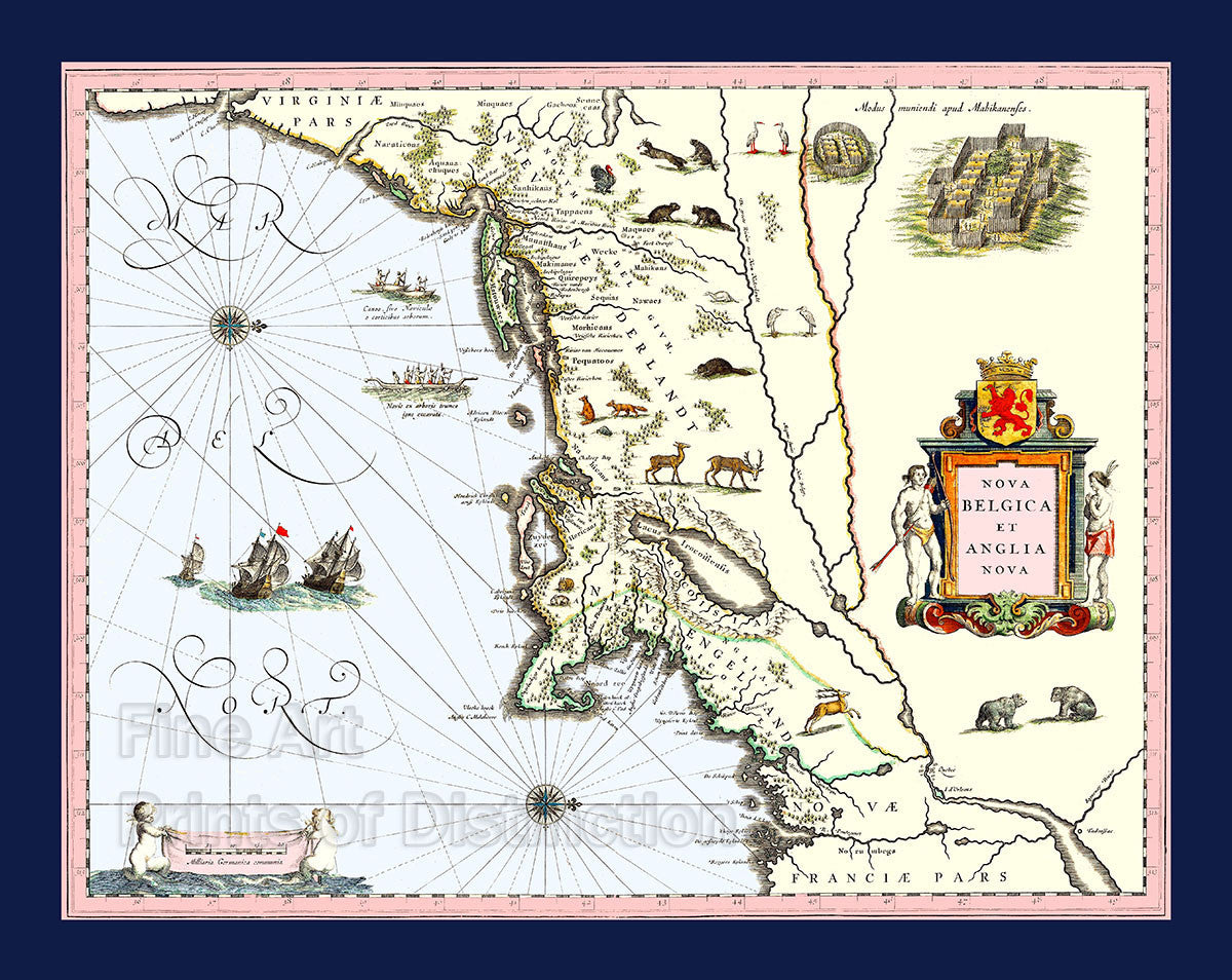
1635 Blaeu Map of New England and New York
Brandywine General Store
$8.99
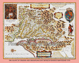
A Museum Quality Print of the 1635 Blaeu Map of New England and New York for sale by Brandywine General Store. Our archival cartography artwork of this finely illustrated map by the Blaeu Family is oriented to the West and covers the American Coast from Virginia past New York and Long Island to Cape Cod, New England and Quebec. The places named are derived mainly from data accumulated by Adriaen Block and other Dutch fur traders which were active in this part of the New World in the early parts of the 17th century. Block, also a Dutch fur trader, sailed around the coasts of New England in 1614 and helped to rework the drawings of this as yet uncharted territory. This is the first map of the New World that depicts Manhattan as an island. At the top right is a drawing of a Mohawk Indian village. Long Island is called Matowacs, this is also the first map that Manhattan (Manhates) is listed and named. Hellegat now Hell Gate and Adrian Blocks eylandt now Block Island also make their debuts in the cartography world. Dutch settlements are reflected in the place names such as New Amsterdam and Fort Orange which is near modern day Albany. The new town of Plymouth is also added. The whole map is illustrated with North American wildlife, such as deer, egrets, foxes, rabbits, cranes and turkeys. Making their first ever appearance on a map are beavers, polecats, (skunks) and otters. The early Dutch maps especially the ones by the Blaeu family, are important sources of information about the local Indians. Birch Bark and Dugout canoes are more representations of the Native American inhabitants. This finely illustrated map is the first one to show the interior of New England as it was just being settled. We have redone the colors on almost this entire map to make its appearance much nicer for a print to hang on your office, business or mancave wall, however, please keep in mind that the original of this map is almost 400 years old, so faults still show on this finely made reproduction. Picture #13 an archival cartography print by Brandywine General Store.

