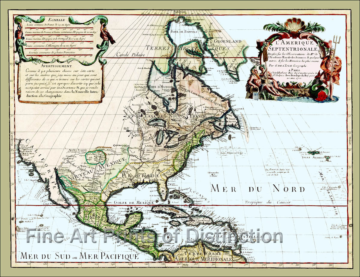
1700 Map of North America by Guillaume de L'Isle
Brandywine General Store
$8.99
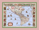
A Museum Quality Print of the 1700 Map of North America by Guillaume de L'Isle for sale by Brandywine General Store. The French at this time had the monopoly of trading and traveling through the interior of the new world, so de L'Isle was constantly updating his maps based on information from French explorers. This was his first map of North America and he includes the glaring error of California as a peninsula. This cartographer did not make up information to include in areas that he knew nothing about, hence the whole of the central part and northwest of the current United States, as well as most of Canada are left blank. Guillaume de L'Isle was the transitional cartographer from the Dutch map makers and their highly decorative and artistically oriented maps to the more modern scientific approach. Even though, this map is still highly decorative and colorful. Our antique map reproductions look especially well in studies, offices or any place of business and are also great gifts for the history buff in your family. We have added the blue tint to the waters in this map to distinguish the oceans and gulfs from the undiscovered lands on the interior of the current United States and most of Canada. The cartographer had made this all white in the original maps. Picture #27

