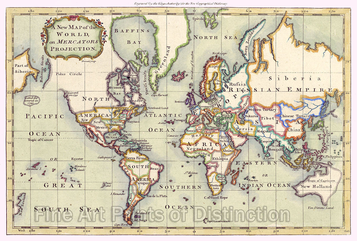
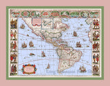
1766 New Map of the World on Mercators Projection Art Print
Brandywine General Store
A Museum Quality Art Print of the 1766 New Map of the World on Mercator's Projection for sale by Brandywine General Store. Even though this map is supposedly from 1766, it seems much older from the place names and for the reason that it is still showing California as an island. This had been known not to be true long before this time. However, the old place names and empires that no longer exist and the colorful borders between the countries make this an excellent print to hang on your wall. The cartouche is located in the upper left corner, within it is the name of the map on a green background surrounded by a flowery frame. To the west of North America and parts of western Canada state that the land was discovered in 1741. North America is still mainly unpopulated with the only colonies being New England, New York, Pennsylvania, Virginia, North Carolina, Georgia, Florida and then of course the island of California on the west coast. Mexico was also called New Spain. South America was divided into Tierra Firma, Brazil, Peru, Paraguay, Chili, and Magelane. The upper right side of the map is mainly taken up with the Russian Empire and Siberia. The map isn't very detailed but has a lot of history showing in the place names. Picture #21 a premium archival cartography print by Brandywine General Store.

