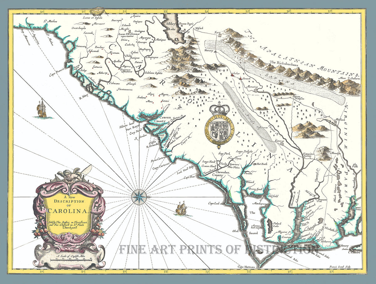
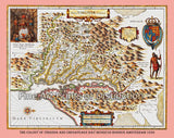
1676 Map of Carolina by John Speed Art Print
A Museum Quality Print of the 1676 Map of Carolina by John Speed, for sale by Brandywine General Store, was one of the earliest attempts to map the interior of North and South Carolina. This antique cartography work is oriented to the West and covers an area from the Spanish colony of St. Augustine, Florida, north to Jamestown, Virginia. Extends inland as far as the Appellation (Apalathean) Mountains. We have redone the colors on most of this map as the original was grungy and discolored. Picture #46

