1794 Map of the United States by Jeffreys Art Print
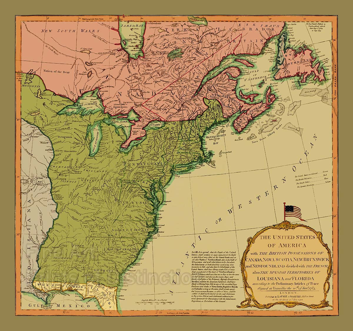
A Museum Quality Art Print of a 1794 Map of the United States when it was a new country just starting out for sale by Brandywine General Store. This was the fourth and final edition of this map which was originally drawn by Thomas Jeffreys and first published in 1755 to illustrate the French and Indian War. This edition is an extremely detailed map showing forts, Indian Villages, Tribal Territories, Mines and all other information normally found on such maps. The large and decorative title cartouche is surmounted by the stars and stripes flag with the 13 stars for the original colonies. The red signifies English holdings and includes Canada, Nova Scotia, New Brunswick and Newfoundland. The green signifies the United States of America, while the yellow is Spanish possessions and this included all of Florida, west and east. The blue was French Fisheries. The text of Article III of the Treaty of Paris is printed to the left of the cartouche, which refers to the fishing rights of the United States. If you like history, you will like this map, with all the Indian names and territories all listed. You can see where each Indian tribe was located from Georgia up through Canada. Picture #02

