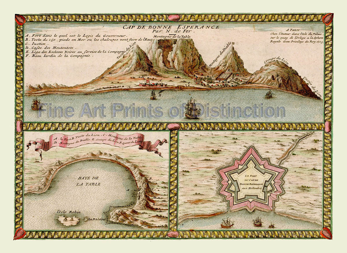
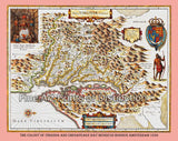
1705 Map of The Cape of Good Hope by Nicolas de Fer
A Museum Quality Print of the 1705 Map of The Cape of Good Hope by Nicolas de Fer for sale by Brandywine General Store. Our premium archival artwork of this drawing or illustration shows the Cape in the big half at the top, in the lower smaller sections are Table Bay and the plans of the Dutch fort at the Cape of Good Hope. This map or picture was taken from De Fer's Atlas Curieux. Picture #29

